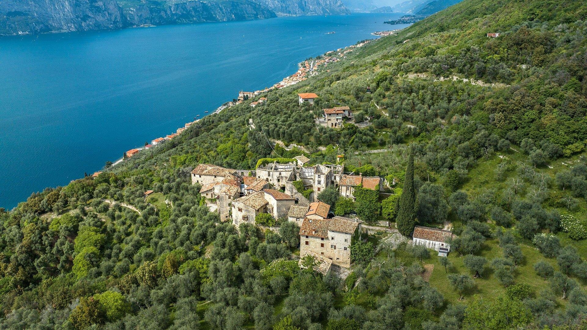
Le malghe del versante gardesano
-
Openclosed
Located at the westernmost edge of the Venetian Prealps, Monte Baldo consists of a ridge that stretches parallel to Lake Garda for almost 40 km, between the tectonic Benaco zone to the west and the Adige Valley to the east, and between the plain of Caprino to the south and the Loppio Valley to the north.
It covers an area of about 400 km², with an elevation ranging from 65m at the lake's shores to 2218m at Cima Valdritta.
The eastern slope is interrupted halfway by Ferrara di Monte Baldo, which forms a sort of plateau, while the western slope descends steeply towards the lake, interrupted only by the narrow plateaus of Prada, S. Zeno di Montagna, and Albisano. Contrary to the origin of its name, Monte Baldo, with its 3,800 ha of pasture, represents the third largest agricultural reality in the Veneto region, after Lessinia and the Plateau of the 7 Municipalities.
The life and economy of the people of Baldo have always been closely linked to transhumance activities, as evidenced by the high number of malghe, 52 public and private, present in the area.
The malghe of Brenzone are:
- Malga Brione, Zovello, Valloare, Trovaj
- Malga Buse, Malmaor
- Malga Valvaccara
- Malga Pralongo
| Period: 01.01. - 01.01. | Mon | Tue | Wed | Thr | Fri | Sat | Sun |
|---|---|---|---|---|---|---|---|
| 06:00 - 20:00 |